While driving along State Route 36 a few miles east of Red Bluff, California, at around 1pm a couple weeks back, I noticed the conditions looked very nice for infrared photography. The clouds were streaky and wispy and the sun was bright but somewhat filtered by the high haze. As I drove by the Sacramento Riverbend Area I could see the snow-covered Mount Shasta in the distance beyond Hog Lake. That clinched it, and I pulled in to stretch my legs, break out my full spectrum gear, and try for a shot or two. I captured this image with my 830 nanometer filter which is completely outside the visible part of the electromagnetic spectrum. I greatly enjoy this infrared “cut” as it can produce some very dramatic black and white imagery. I almost always think of the late great Ansel Adams when I shoot landscapes at 830nm. Ansel did in fact shoot some infrared film, although it is cause for some debate how much he took to it. Most information I can find suggests he preferred visible film with a deep red filter — similar, but more subtle result.
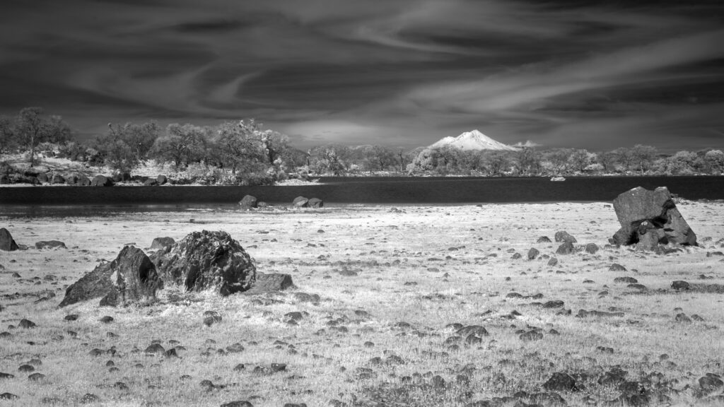
The Sacramento Riverbend Area is BLM-managed land sitting at the historic boundary between two native groups — the Yana to the east and the Nomlaki to the west — with evidence of human presence going back somewhere between 6,000 and 10,000 years. I try to get there at least a couple of times a year to enjoy some of the trails and views. Mount Shasta, the 5th highest peak in California, rises to 14,179 feet and sits roughly 75 miles to the north-northwest as the crow flies from this vantage point — yet on a clear day it dominates the horizon in a way that makes the distance hard to believe. The snow-covered summit is visible from a surprising range across the northern Sacramento Valley, and that combination of massive elevation and relative isolation is exactly why it photographs so well even from this far out.
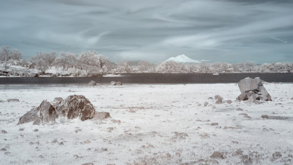
This image is roughly the same composition as the first but with my 720nm filter which lets just a bit of visible light at the red end make it to the sensor. After swapping the red and blue color “channels” in post production the sky that is rendered very red in-camera appears blue, more like us feeble-eyed humans are used to seeing, although the image still maintains a rather surreal appearance.
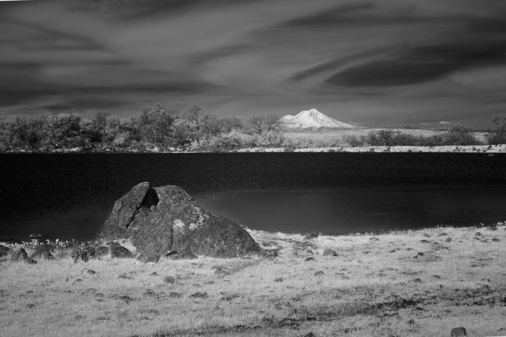
I moved closer to the water’s edge and grabbed one more 830nm image. Mount Shasta is still smallish in the frame but a bit more prominent than before.
I hope to get back down that way when all those oaks start leafing out to get some nice “glowy” IR images as the chlorophyll in new deciduous growth very dramatically reflects infrared energy.
Stay tuned.